Main Content
Observing Social Transformation From Above
New Project Will Test the Use of Drones for Contemporary Historical Research

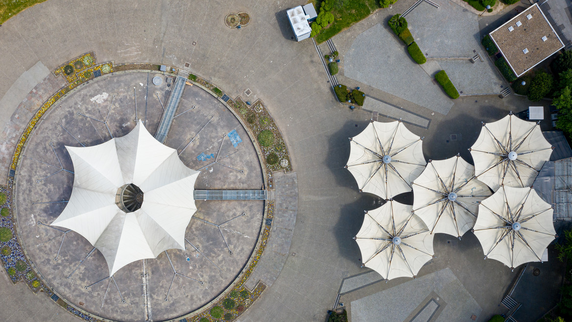
Do airborne recordings help us to understand historical social change? A new project at IRS is testing the potential use of drones for contemporary historical research. This involves comparing observations of spatial use patterns taken from the sky with historical maps. The focus of interest is social transformation, expressed in the use of space.
Starting in April 2024, Kerstin Brückweh and Rita Gudermann from the Research Area "Contemporary History and Archive" will be testing the use of drones and deep mapping in contemporary history. Their project "Geodata as Social Data for Historical Longitudinal Analysis?" investigates processes of socio-spatial transformation based on changing cultural landscapes in the surrounding area of Berlin. This involves using historical maps and plans from the Scientific Collections of IRS and other regional archives to create reference points in the past. The project team uses drone overflights to record the current state of the areas. The focus of interest is on questions of land use, property rights and restrictions on access and use. Thus, the project is about social relations that manifest themselves in space and whose changes are visible in space. The aim is to find out how well historical social change can be captured through spatial data. In order to create a sense of trust, the project team will maintain an intensive dialog with citizens.
The project is supported by the Incubator Funds of the National Research Data Initiative "NFDI4Memory". NFDI4Memory is the consortium for historical researcher in the humanities within the initiative to establish a national research data infrastructure. The initiative is funded by the German Research Foundation.

