RichMap – Where the Rich Live (RichMap)
Research department: Contemporary History and Archive
Project Leader within IRS: Prof. Dr. Kerstin Brückweh PD Dr. Eva Maria Gajek
Project Team: Lilli Rast
Consortium: Leibniz Institute for Research on Society and Space (Coordination) Leibniz-Centre for Contemporary History Max Planck Institute for the Study of Societies German Historical Institute London European University Viadrina Frankfurt (Oder) Berlin University of Technology
Funding Organization: Leibniz Association
Duration: 05/2025 - 04/2028
“Tell me where you live, and I'll tell you who you are.” This German proverb speaks to the close association between place of residence and social status. While poorer and more marginalised neighbourhoods have been the subject of intensive research, the question of where, in Germany, the wealthy live—¬and why¬—remains largely unanswered. Mansion districts, often referred to as “good addresses,” embody exclusivity and social prestige. But how do such spaces of privilege come to be? How do they manage to maintain this status over decades? Why do certain mansion districts lose their significance, and how do others manage to regain their reputation following political and social upheavals – particularly in eastern Germany after 1989?
The research project “RichMap – Where the Rich Live”, with financing from the Cooperative Excellence funding programme of the Leibniz Competition and under the leadership of Prof. Dr. Kerstin Brückweh and PD Dr. Eva Maria Gajek of the IRS, devotes itself to these questions. It examines the emergence, development and transformation of villa districts in Germany over the course of the long 20th century. The focus is not only on the spatial distribution of wealth, but also on the social and cultural dynamics that contribute to certain neighbourhoods respectively maintaining, losing or regaining their status of prestige over the years. A central research approach of the RichMap project therefore consists of analysing the interactions between social perceptions and economic developments. It operates on the assumption that, beyond being merely material spaces, villa districts operate as symbolic places, whose social significance is shaped by public discourse and narratives. These perceptions shape not only the identity of a neighbourhood, but also, in very concrete terms, influence market prices and the economic value of real estate, thereby reinforcing patterns of social inequality.
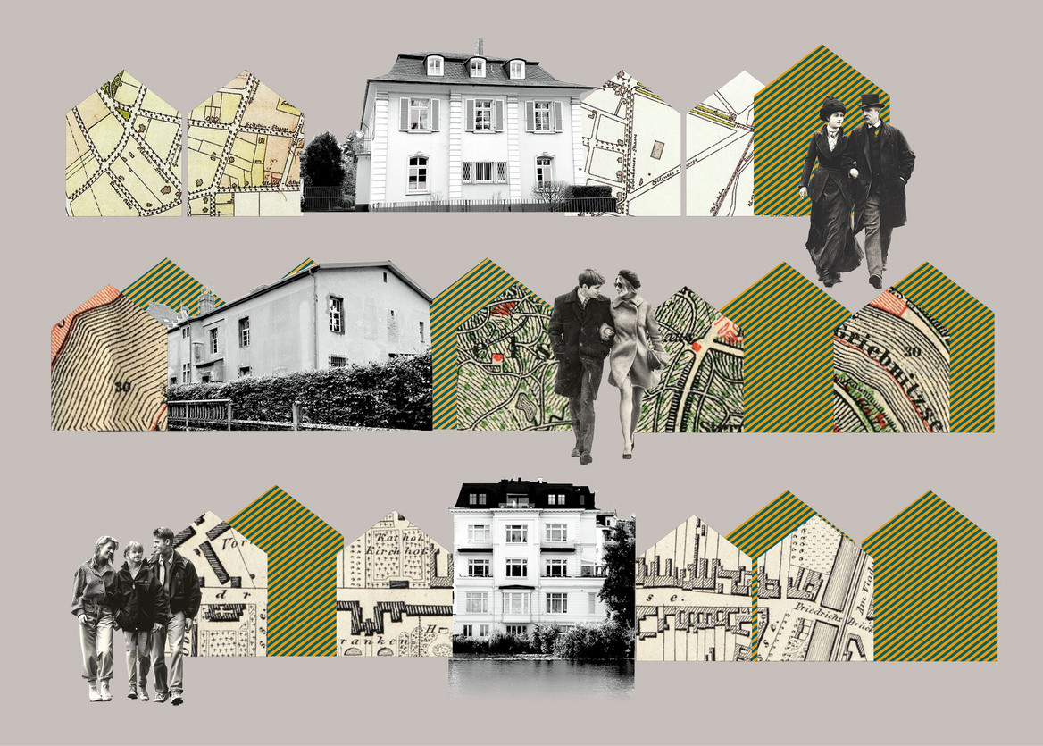
A methodological innovation of the project is the use of so-called “thick maps”. These digital maps combine quantitative data, historical documents and personal narratives. The project further relies on citizen science practices to integrate local perspectives. The experiences and perceptions of residents and city dwellers are thus incorporated into the analysis in order to paint a differentiated picture of the social construction of villa districts. RichMap is being carried out in close cooperation with the Leibniz Centre for Contemporary History (ZZF), the Max Planck Institute for the Study of Societies (MPIfG), the German Historical Institute London (DHI), the Technical University of Berlin and the European University Viadrina. It is embedded in an international network of scholars from the fields of history, sociology, geography, information technology, cartography, architecture, monument preservation, political science and ethnography.


