The Reordering of Planning. Urban Planners and the Digital Assemblage of Techniques
Research department: Economy and Civil Society
IRS Research Topic: Shared Knowledge - Locally and Over Distance New Social Practices
Project Leader within IRS: Martin Schinagl
Duration: 01/2018 - 12/2021
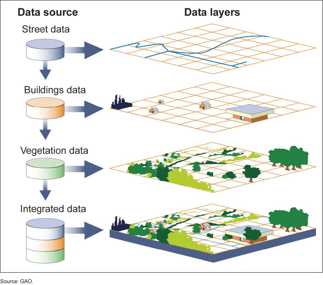
In urban design, town planning and architecture, a variety of electronic and digital tools have drastically reshaped the disciplines practice since the 1960s. Geoinformation systems (GIS), computer assisted design (CAD), simulation software, large databases, drones, and 3D printers are just some of the digital planning tools and infrastructures that helped to largely rearrange processes, projects and work environments.
Martin Schinagl's dissertation is about the digital (re-)arrangements or “re-figurations” of offices, planned spaces, planning processes and the datafication of the division of labour. He examines the digital planning culture from the perspective of a sociological standpoint by looking at digitalised spatial practices and the ways in which planners use digital tools. To grasp interdependencies of the use of digital tools in relation to planning practices and to how spaces are understood, conceived and constructed, Martin Schinagl follows two central research questions:
(1) What does digitalization in the context of urban planning mean as well as to what extent does digitalisation shape the social and spatial relations of urban planning?
(2) In what way do planners create an image of the city and how do they construct spaces in a digitalised way?
Therefore, context and interactions in which planners make of use (digital) tools are subject to ethnographic workplace studies. Between 2018 and 2020 data was collected in New York, Lagos, Frankfurt, and Berlin. In his dissertation, Schinagl describes how the processes of planning projects and the field of relationships based on the division of labour in planning are shaped and created along digital devices.
The digitalisation of planning is expressed through social and spatial reaarangements on different levels that touch planning tasks and processes as well as networks of planning offices in their material and organisational composition. Though the implementation of technical systems allow for complex and “translocally” and globally distributed division of labour along so-called data practices they also (re-)produce differences between places and inequalities between the planning actors on local and global level alike. Digital planning is accompanied by changes in specific practices – in the way planners imagine cities by analysing, structuring, and designing spaces. Digital tools make it possible to understand places from afar with the help of computer and internet technology. Yet site visits are still made. Even if the physical presence of the planners on site no longer seems to be necessary planners draw on a variety of different methods in order to create a cognitive and rational framework for managing decision-making processes and planning.
The dissertation at the Technische Universität Berlin is supervised by Prof. Dr. Martina Löw and Prof. Dr. Gabriela Christmann and was submitted in September 2021.


