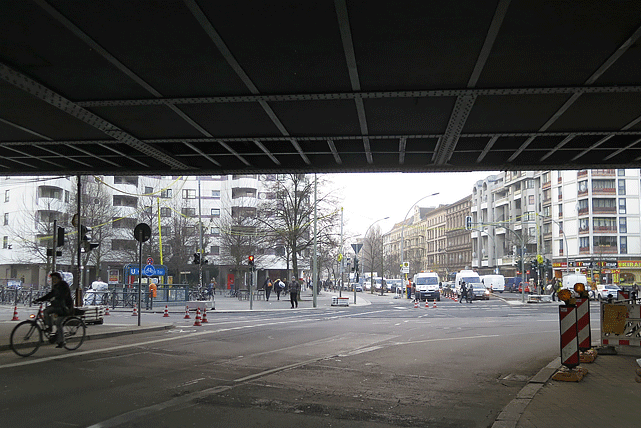
Perceptions of (In-)Security at Urban Places: Best Practices for Urban Design and Digital Planning
Research department: Economy and Civil Society
IRS Research Topic: New Social Practices New Vulnerabilities and Resilience Strategies
Project Team: Mandy Töppel
Consortium: Fraunhofer Institute for High-Speed Dynamics, Ernst-Mach-Institut (Coordination) Leibniz Institute for Research on Society and Space inter 3 Institute for Resource Management virtualcitySYSTEMS GmbH
Funding Organization: Federal Ministry of Education and Research
Duration: 03/2018 - 05/2021
www.stadtsicherheit-3d.de
Guaranteeing the security of a city's inhabitants is a central task of urban policy, particularly so for structural-spatial planning. Policy and planning thus pursue the goal of improving areas perceived to be unsafe, or indeed to prevent the emergence and stigmatisation of no-go areas in the first place. The joint project “Stadtsicherheit3D”, funded by the German Federal Ministry for Education and Research, systematises the factors for spatial safety assessments, developed scenarios for intervention, catalogued best practices for policy and planning to date, developed new proposals for best practice on the basis of empirical analyses, and at the same time devised a digital planning tool intended to illuminate the corresponding planning processes using 3D city models.
The joint project carried the title “Assessment and Improvement of Urban Security aided by Semantic 3D City Models” and addressed gaps in research and deficits in knowledge in the area of urban security and digital planning. Working with three other group partners, the IRS research department “Dynamics of Communication, Knowledge and Spatial Development” contributed its expertise in the fields of citizens' vulnerability perception , the role of digitalisation in the communicative construction of spaces, as well as the mediatisation of planning processes through the use of digital tools. Head of Department Prof. Dr. Gabriela Christmann led the sub-project “Perceptions of (In-)Security at Urban Places: Best Practices for Urban Design and Digital Planning”.
Urban security was considered in the context of the project as a multi-layered phenomenon. The following factors that possibly endanger the security of citizens were focused on in the overall project: a lack of visibility in urban spaces (e.g. owing to protrusions or niches) and inadequate lighting in individual urban areas, but also restricted audibility (e.g. of calls for help, owing to traffic noise), or the threat of terrorist attacks.
There has been no systematic social-science research to date on urban spaces perceived as (in)secure together with their structural-spatial factors. Indeed, the “absence of morphological mapping” of corresponding structural-spatial factors has long been lamented in the international research literature.
From a social-science perspective the IRS closed a gap with this sub-project. In its first phase it addressed the problem by developing and implementing a novel, multi-methodical approach for morphological mapping. This approach was linked together the perceived vulnerability of an area on the one hand, with concrete material characteristics in the form of structural-spatial factors on the other. What's more, the project has also methodically implemented conceptual considerations of previous IRS research concerning vulnerability and resilience from a socio-spatial perspective.
Citizens' perception of (in)security) in urban areas were first of all collected using the “go-along” and “thinking aloud” methods. Geotagged photographs of the city areas considered (in)secure were then roduced. In a second step, structural-spatial factors that citizens perceive and label as (in)secure were identified. At a later point, these factors were catalogued and both qualitatively and quantitatively described. For the quantitative description, detailed measurements will be carried out (using laser rangefinders, light meters, and sound-level meters). From this basis, the structural-spatial factors were visualised in the form of hybrid maps. To the citizens participating in the research belonged men and women, people from various age groups, and Germans and migrants; security experts were also included among the participants.
Crucial to the project was the fact that the IRS data were submitted for further processing to the other group partners, whose backgrounds are in such disciplines as mathematics and computer science. The data were algorithmically developed in order that the morphological structures and characteristics of (in)security can be better understood. The partners worked closely together in this regard. Software developers also belonged to the group, so that safety-assessment and modelling software can be developed on the basis of the data and the 3D city models. This software should in the future serve planners as a digital planning tool. Best practices for planning and city policy were developed in light of the findings on morphology of (in)security in urban areas.
The project is thus of particular interest for the IRS' research on digitalisation, but also with regard to innovations in planning, as in the second phase planners were considered and surveyed. On one hand, there were planners who work with a preliminary version of the 3D planning tool. On another, experts on digital planning with were interviewed. The aim was to gain insight into the future of digital planning in general, the potential of digital urban-security planning tools in particular, and the potential for innovation in planning on the basis of such digital tools.
Photo: © Alper Çuğun/flickr.com


